Happy Valentine’s Day! We arrived at Horseshoe Island overnight.

This was my first view when I opened the drapes in our room. Sunrise today was at 5:20am. The sun will set at 10:11pm. It gets light earlier in the morning and stays light longer than those times, I think because the sun goes down and comes up at an angle.

Here I am fully suited up. I created a Keep Note list of 17 items to wear or carry with me.

I am wearing most of the rental gear. A pair of binoculars and a cell phone hang around my neck
In the Base Camp area we store our boots in a locker.

I struggled to get my coat, backpack, and life preserver on correctly. I heard comments like “first day of school jitters” and “it takes a village.”
The air temperature is 32º F. The winds are light with a few gusts. Water temperature is 30º F (-1º C).
Three Mile Hike
We boarded the Zodiacs, ten people each, and motored away from our ship.

The operator attaches a kill cord to their wrist. If he or she falls overboard, that cord shuts off the engine. They say that type of incident has never happened, but our guides have practiced it in this cold water.

After getting out of the Zodiacs, we hiked for 3 miles over rocky terrain to get to a hut.
We saw plants such as moss and lichen on the ground. At times it was difficult to avoid stepping on them.


There are only two flowering plants on the continent, Antarctic hair grass (shown above) and Antarctic pearlwort. They grow in the Antarctic Peninsula, South Orkney Islands, and South Shetland Islands.


We are approaching the hut.


The Antarctic Treaty of 1991 banned all mining and resource depletion. No dogs are allowed here. It’s a demilitarized area, no weapons. All previous claims to any area of the continent were nullified. Anyone is permitted to go anywhere in Antarctica for research. It was required to tear down any buildings that weren’t being used. The British skirted the rule by declaring this building a historic monument. It is maintained by the United Kingdom Heritage Trust.
What did I learn for the next time out? Wear a stocking cap next time. The cap with a bill kept sliding down over my eyes. I wore only a glove liner and only on my left hand because it’s not so cold, and that made it easier to manage my cell phone camera. Now the right glove liner has gone missing. I hope to find it in one of my pockets.
I started out with sunglasses on. They fogged up slightly. The overcast day was not too bright. So I took them off. Hiking poles were good for this hike, but I won’t bring them if we’re just sitting in the Zodiac.
The British built a polar research vessel in 2016. They had a public contest to select its name. The winning name was “Boaty McBoatface.” The ship was eventually named the RRS Sir David Attenborough, but the name Boaty McBoatface stuck.
Our guide said that there is an Argentine research station nearby. What do they do there? “Nobody knows.” Argentina claims this area. They even brought pregnant women down here to give birth to have “citizens”. The Antarctic Treaty disallows claims of this type.
On overcast days the weather forecasts are accurate. There are fewer microclimates then. We’ve gotten so good at forecasting storms, especially in open water. We can see them coming. The storms move fast, and ships avoid them except in the case of a medical emergency.
My phone shut down suddenly during the hike, probably because it got too cold. Now the photos I take are coming into my Google Photos Camera Roll in some kind of random order. I haven’t figured out why yet.
Motoring Around in a Zodiac
In the afternoon we left the ship again on a Zodiac. This time we rode around for a couple of hours looking at the animals and scenery. Jonas was our guide


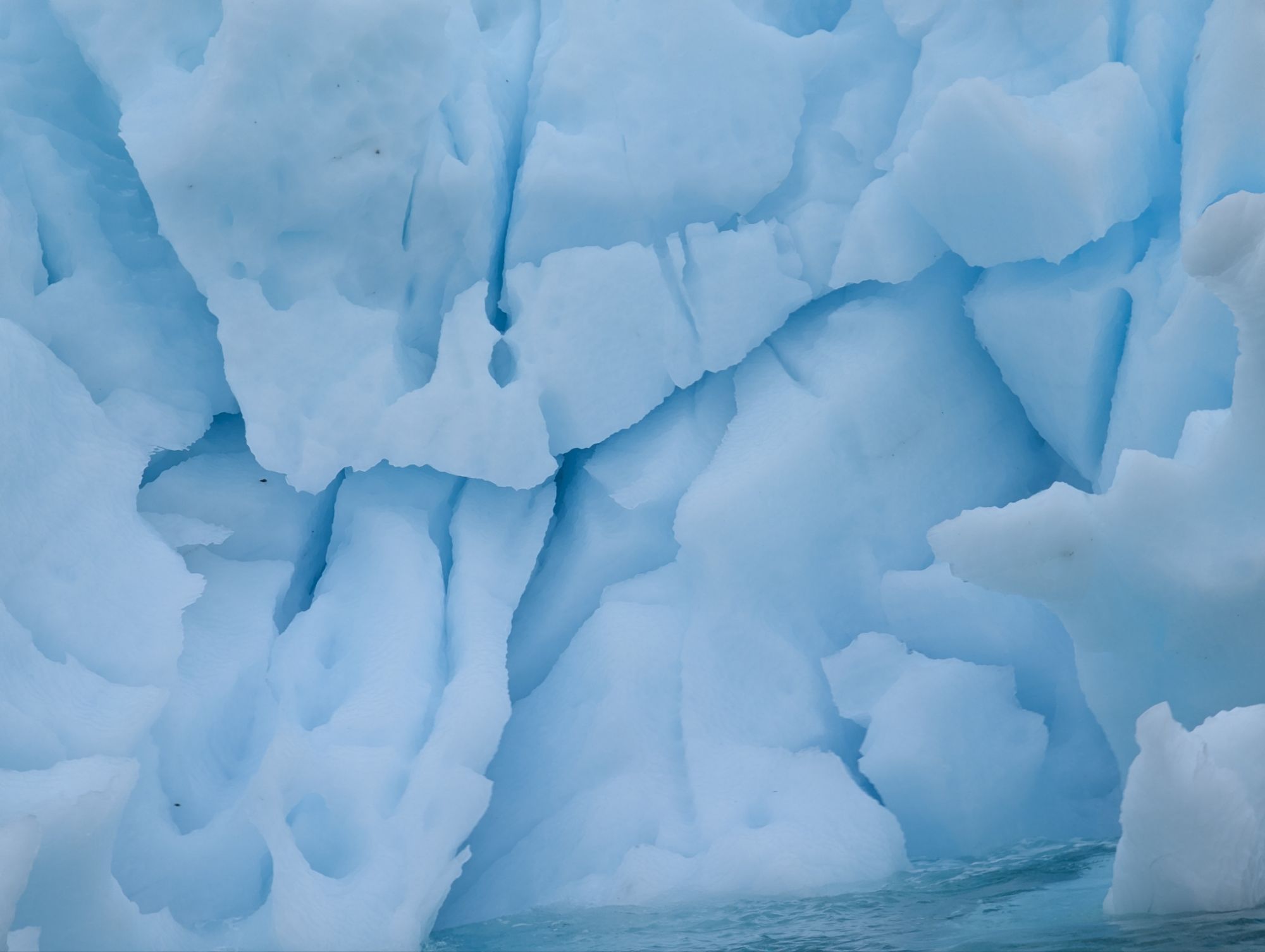
We saw various types of rocks. Gabbro are intrusive igneous rocks that cooled underground. We also saw andesite, and granite among others.
The golden age of exploring in the Antarctic occurred during 1897 to 1922.
In 1895 an international geographic conference was held in London. Not much was understood about this part of the world. They started providing funding to expeditions.

Our goal tomorrow morning is Alexander Island and Lazerev Bay, shown at the bottom left on the map above. It’s only the second time our ship will have gotten this far south at about 69º 50′ south latitude.
Click on this link to read the daily report from our ship – https://www.expeditions.com/expedition-stories/daily-expedition-reports/horseshoe-island-and-pourquoi-pas-island-antarctica-ed-2025-02-14?hmc_lid=3&utm_source=Triggered&utm_medium=email&utm_campaign=DER.SELF&email_md5=323649af63a8215a85f9923f6a86435f&mi_u=323649af63a8215a85f9923f6a86435f
Leave a Reply