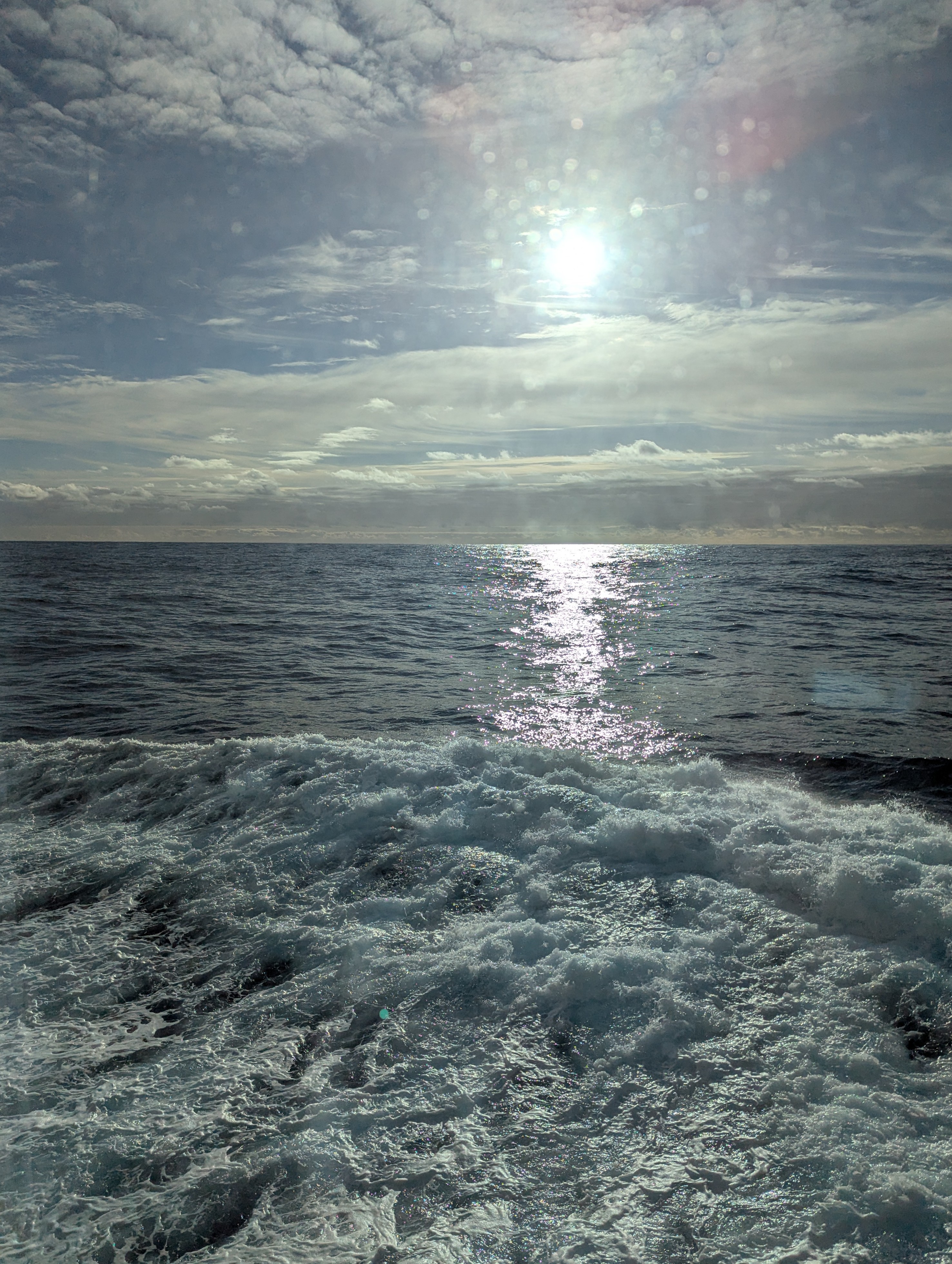
The water is even smoother than yesterday. I feel no ill effects of seasickness.
Our ship speed versus yesterday has slowed by 1 knot. A “knot” in nautical terms refers to a unit of speed equal to one nautical mile per hour, essentially meaning that a ship traveling at 10 knots is moving at a speed of 10 nautical miles per hour. It’s the standard way to measure a vessel’s speed at sea.
According to Google AI, the term “knot” originated in the 17th century when sailors used a device called a “common log” to measure the speed of their ships.
The common log was a rope with knots tied at regular intervals, attached to a piece of wood shaped like a slice of pie. Sailors would drop the log into the water and count the number of knots that passed the ship’s stern in a specific amount of time. The number of knots counted estimated the ship’s speed in nautical miles per hour.
The term “knot” comes from the use of knots as a length measurement on the log lines. Each interval, or knot, was about 47 feet (14.3 meters) long.
A nautical mile is slightly longer than a regular mile (also called a statute mile), with one nautical mile equaling approximately 1.15 regular miles. The key difference is that a nautical mile is based on the Earth’s latitude and longitude coordinates, where one nautical mile is equivalent to one minute of latitude, making it a unit primarily used in maritime navigation.
A nautical mile is based on the Earth’s curvature, while a regular mile is a standard land measurement.
At 9:00am we passed the northern tip of the Antarctic Peninsula (see the green mark below).

We continue heading south. A naturalist told me that we will transition from 3,000 foot depths to 300 feet later today and start to see icebergs and other activity.
Ship radar did spot one iceberg overnight, but it was 9 miles away. The ship does not have radar to see anything, like a whale, under the water.
Packing for Antarctica
You might ask, “What does one pack for a trip to Antarctica?”

One waterproof rain jacket for rainy or windy weather in Ushuaia, Argentina.
One pair of waterproof pants (made of Goretex or similar waterproof, breathable fabric) that are loose enough to wear over a regular pair of trousers. You will need these for almost every landing, These are available for rent from our gear provider, Ship to Shore at http://www.shiptoshoretraveler.com/lindblad.
One or two pairs of waterproof ski mittens or gloves. You might bring a pair of thin, polypropylene gloves that fit under your ski mittens so you can take your mittens off during photography without your hands getting cold. Bring an extra pair of mittens in case your other pair gets wet.
One wool ski cap and a scarf if the cap cannot be pulled down to cover your neck.
One pair of fully waterproof knee-high rubber boots with sturdy, high-traction soles, We stress the importance of boots that are completely waterproof so that your feet will not get wet when you step Into shallow, icy water during Zodiac landings. Additionally, boots should have good traction because you are likely to encounter poor footing on ice and rough terrain. Also, comfort is important. If your boots are too heavy or bulky, your footing will be awkward during hikes. Wellington boots, “muck” boots or XtraTufs can be purchased at sporting goods stores, fishing supply stores, and from outdoor clothing suppliers. If you choose to rent boots, you’ll find them waiting for you, along with your complimentary parka, in your cabin aboard the ship.
Comfortable walking shoes with rubber soles for use aboard the ship.
Three or four pairs of warm, sturdy, tall wool socks and an equal number of thin socks to wear underneath for extra insulation. Silk or polypropylene sock liners do well. (Make sure you bring several pairs of socks since your feet may perspire to the point of wetness.)
An assortment of fleeces, sweaters, and other layered clothing.
One full set of thermal or silk long underwear.
One or two bathing suits (for the onboard sauna or a possible “polar plunge”).
Workout clothing, for use in the ship’s fitness center.
Water resistant backpack for carrying cameras or other equipment.
Sunglasses.
Binoculars.
Electrical converter and adapter for your hotel stay (220V to 110V).
Travel alarm clock.
Camera, lenses, instruction manual, plenty of memory cards/film, battery charger, extra batteries.


They have extra long shoe horns to help get on the muck boots.

Southern Ocean
In 1921 the National Geographic Society officially designated the waters around Antarctica as a fifth ocean called the Southern Ocean. Previously these waters were included as part of the Atlantic, Pacific, and Indian Oceans. Antarctica is a continent surrounded by an ocean. The Arctic is an ocean surrounded by continents.

The southern ocean has one-sixth of the world’s water area but 50% of the marine animal biomass. However, there are relatively few species here including few endemic whales.
Whales
The Southern Ocean and Antarctica have a simple ecosystem. Every animal down here eats krill or eats something that eats krill. Krill are small crustaceans that look like shrimp.

How do you identify a whale species? Look at the size and shape of its blow, the position of its fin, the color of its skin, the shape of its tale when it flukes. Definition of flunking: When a whale or dolphin begins a deep dive, it lifts its tail into the air to help it thrust its body into a more steeply angled descent to deeper waters.
Here are all of the whales. We’ll only see certain ones in Antarctica.

The populations of northern hemisphere and southern hemisphere whales never meet. They all migrate north and south within their own hemisphere.
Some whales have a scalloped leading edge to their fins. It cuts water resistance and turbulence. That design is being tested for wind turbines.
Fin whales feed in motion like a trawler. They can temporarily double their weight with the amount of fish they take in.
The largest animal on earth is the blue whale. These expeditions only see them on 1 in 10 trips. The surface of the water will glow blue if one is about to surface. 99% percent of them were killed during the whaling days. Most whales, about three million of them in the 20th century, were killed for margarine rather than fuels. Populations are growing back somewhat now.
Killer whales down here are gray and black. It is rare to see one. One type of this whale is the one that washes seals off of ice to feed on them.
Whaling no longer poses the biggest threat, replaced by ship strike, noise pollution, and entanglement.
Whales poop on the surface and fertilize their own garden.
The Antarctic treaty makes it illegal to take resources from the land, but it is not illegal to take krill and fish. We can help prevent the depletion of resources by refusing to eat krill based food. South Korea consumed krill paste. It is best to avoid krill-fed salmon, but it is hard to know which ones those are in a restaurant.
During the presentation we saw a couple of whales breach the waters with their backs and blow air.
Penguins
Álvaro Velho, who sailed with Vasco da Gama in 1497, was the first to mention penguins in his travel book. Pinguinus means plump.
The closest relatives to penguins are seabirds such as albatrosses and petrels.
Penguins are located only in the southern hemisphere, except for the Galapagos penguin near the equator. There are many species of penguins. Here are some that we might see.


Adelié – they like higher nesting sites. Higher up is better because wind blows away the snow to reveal the bare ground.
Gentoo – these are party animals with lipstick and headphones on. Ha!
Emperor – tallest penguin, only one egg. They breed at sites around the continent (see below).

Penguins can live up to 20 years and begin to breed after 4 years. They recognize each other by call.
For breeding, penguins come back to the same site year after year. Males arrive first. They wait until the females show up. Penguins are “monogam-ish”. They will mate with the same partner if he or she comes back. But if the partner is late, they’re pretty fast about finding another mate.
Male emperor penguins balance eggs on their feet and cover them with a brood pouch of feathers, skin, and fat. This keeps the eggs warm at around 38° C (100º F), even when the outside temperature is well below freezing. It takes five months max from an egg to a fledged waterproof chick.
Penguins sleep when they need to. A study showed that penguins can nod off up to 10,000 times a day. These 4-second micro sleeps are adequate.
Some penguins pant like a dog to regulate temperature.
Leopard seals and killer whales are typical predators.
Rules and Regulations
IAATO, which stands for the International Association of Antarctica Tour Operators, is a voluntary organization that advocates for safe and environmentally responsible private-sector travel to Antarctica, ensuring that tourism in the region adheres to the guidelines of the Antarctic Treaty System and other relevant international regulations. Tour Operators aren’t forced to be members, but all are.

We have received these rules and instructions from our expedition team:
Check pockets for plastic bags, etc. Before leaving the ship. Throw no litter outdoors.
Weather is changeable so dress in layers. Wear parkas, bring binoculars.
Penguins go through a stage of catastrophic molt. At that time they are fasting and can’t swim. We need to be especially careful to stay far from them. All Antarctic species are protected.
Avían flu reached Antarctica last year brought in by migrating birds. We will be careful to wash and decontaminate our boots. If we see dead or sick birds, we won’t go ashore at that location. Avían flu has affected land mammals here more than the birds.
Do no remove anything including rocks, feathers, bones, eggs, fossils, etc.
Don’t write anything on rocks or even in the snow. Leave no trace.
If a penguin or group of penguins come toward you, back away to maintain a minimum 15-foot distance.
Patches of vegetation have established in areas where conditions allow. Do not walk or step on vegetation.
Refuge huts should only be entered when our guides allow us.
Shore landings typically last 1 to 2 1/2 hours. Walks typically are short and mostly on rocks rather than ice. It’s more important to dress warmly when staying in the zodiac than when going on ice.
Don’t sit, kneel down, or lay on ice where wildlife is present. Squatting isn’t permitted because avian flu is transmitted through the air and being closer to the ground isn’t good.
Be careful about the type of photos that you take and publish online that might imply that someone is violating a rule, such as making them look too close to an animal when they are not.
We will decontaminate the outer layers of our clothing – rain pants, hats, gloves, etc. – so that seeds and spores aren’t accidentally transferred to the shore.
We have 14 small boats on board called Zodiacs. We will use them to navigate in small groups from the ship around and to the shore. More about Zodiacs in the next post.
We are allowed to put no more than 100 people ashore at a time.
Glaciology
Greenland and Antarctica are the only two sheets of ice on our planet. 90% of the Antarctic continent is covered in ice. On this expedition we are going to the least-covered part, the peninsula.
Pack ice is like another habitat. It provides a seabed for animals like krill. That’s why it is so detrimental as we lose sea ice.

From 250 to 60 million years ago, South America, Africa, and Antarctica were clustered together. Then Africa moved away. 35 million years ago South America and Antarctica separated, opening up what we call the Drake Passage. This allowed sea animals to move between the Atlantic and Pacific Oceans. It isolated Antarctica.
By definition a glacier is a field of ice that is flowing downhill under the pressure of gravity. A glacier that touches the water is called a tidewater glacier. The middle of the glacier will flow faster than the side because of friction against rocks. The top of a glacier flows faster than the bottom. This is what sometimes induces calving or separation.
Icebergs are 90% below the waterline and 10% above.
The diagram below shows the land area of Antarctica in brown. It is covered by ice, shown in blue.

Antarctic Circumpolar Current
Cold air spills off the continent like water. That causes wind and currents. It’s like a pump for global currents. This map from AntarcticGlaciers.org shows the flow of the world’s major currents.

Now a definition: The Coriolis effect is the apparent deflection of an object’s path due to the Earth’s rotation. It’s responsible for the curved paths of winds, ocean currents, and airplanes.
If the Earth did not rotate and remained stationary, the atmosphere would circulate between the poles (high pressure areas) and the equator (a low pressure area) in a simple back-and-forth pattern. But because the Earth rotates, circulating air is deflected. Instead of circulating in a straight pattern, the air deflects toward the right in the Northern Hemisphere and toward the left in the Southern Hemisphere, resulting in curved paths. This deflection is called the Coriolis effect. It is named after the French mathematician Gaspard Gustave de Coriolis.
Below you can see the curved paths of air currents over Antarctica due to the Coriolis effect.


At about 9:15pm we crossed the Antarctic circle. It is located at approximately 66º33′ south latitude. Since I have been north of the Arctic Circle in Norway, I guess that means I am now “bi-polar”.
Here is a link to a daily report from our ship – https://www.expeditions.com/expedition-stories/daily-expedition-reports/at-sea-towards-marguerite-bay-ED-2025-02-13
Leave a Reply